

My parents lived in the Windsor Hills neighborhood of northwest Oklahoma City from 1978 until 2022. I lived there with them in junior high and high school, but left for college in 1984. After my father passed away in early 2022, my mother moved to independent living here in Bartlesville.
So I no longer have a reason to traverse the Turner Turnpike and travel back to Windsor Hills. I decided to compose a series of posts on the history of the area as part of the process of saying my fond farewells.
Indian Removals
According to Native Land Digital, the Comanche, Osage, Kickapoo, Kiowa, and Wichita tribes once used the land where Oklahoma City is today. The infamous 1830 Indian Removal Act removed at least 18 tribes from the eastern U.S. to lands west of the Mississippi River along the Trail of Tears. Southern tribes were mostly relocated to present-day Oklahoma. In 1855, the area of modern-day Oklahoma City on the north side of the North Canadian River was assigned to the surviving members of the Creek Nation, which is now called the Muscogee (Creek) Nation. The portion of modern-day Oklahoma City south of the river was at that time part of the Seminole Nation.

Many tribes supported the Confederacy in the Civil War, and afterward the United States used its victory as leverage to force the cession of more lands. In an 1866 treaty with the United States, the Creek Nation ceded the western half of their lands, estimated to contain 3,250,560 acres, at thirty (30) cents per acre, or $975,168. The tribe established a new government in Okmulgee, which remains the capital of the Muscogee (Creek) Nation.

By 1889, some of the lands ceded after the Civil War by the Creeks and Seminoles had been reassigned to the Iowa, Kickapoo, Sac and Fox, Seminole, Potawatomi, and Shawnee. But about two million acres in the center of Indian Territory, including what would become Oklahoma City, had not been reallocated and became known as the Unassigned Lands.

Homesteads
The Unassigned Lands were opened to homesteaders in the Land Run of 1889. By 1905, there were two 160-acre homesteads in Section 22 of the Council Grove Township 12 North-Range 4 West comprising what would later become Windsor Hills. The northern half was owned by O.M. Bisch and the southern half by Thomas A. Cook.


Why the “Council Grove” township? That name refers to a small portion of the Unassigned Lands just west of Windsor Hills which was exempted from the Land Run. Before we lived in Windsor Hills, our family lived in Bethany, within the boundaries of the former Council Grove, which was far older than Oklahoma City. It was a tract encompassing much of modern-day Bethany, Woodland Park, and portions of Warr Acres and Oklahoma City. Its eastern edge was modern-day Grove Avenue between MacArthur Boulevard and Ann Arbor Avenue, a quarter-mile west of Windsor Hills.
Council Grove originally consisted of a large grove of cottonwood, elm, and oak trees with good spring water, making it attractive for Indian Councils. Cherokee fur trader Jesse Chisholm had opened a trading post there in 1858; the Chisholm cattle trail was named for him. In 1859, it was the site of a meeting of U.S. and Comanche representatives. In the 1870s, Chickasaw Montford T. Johnson had a ranch in the vicinity of MacArthur Blvd, so the Chickasaws in his employ at the ranch may have been the first permanent inhabitants of what became Oklahoma City.

In the 1889 Land Run, the Council Grove area shown in the above map was set aside as a source of timber for nearby Fort Reno‘s fuel and fencepost needs and not opened to settlement. However, after the Rock Island Railroad arrived, the timber reserve was no longer needed, so it was sold off after 1896. Little remains to mark Council Grove these days beyond an eponymous school, the mile grid street Council Road, and a historical marker on the North Canadian at NW 10th Street and N Eagle Ln, near the red dot on the map.
Streetcars and a Fruit Farm
Oklahoma City’s suburban development in the early 20th century followed the same pattern of other growing cities. Wealthy developers purchased large tracts away from downtown and built streetcar lines, often with an amusement park at the end of a line to drive weekend traffic as they sold lots along the line. I’ve written before about Israel Putnam and his Putnam City venture along an interurban line from Oklahoma City to El Reno which is now US 66/39th Expressway. Another major developer in OKC was Anton Classen.

Two years after graduating from college in Michigan, Anton Classen made the 1889 Land Run. He developed farmland into housing developments beginning in 1900, partnering with John Shartel in streetcar lines. He became the president of the Commercial Club (the predecessor of the Chamber of Commerce) and helped finance the building of what would become Oklahoma City University, promoted the paving of streets, organized street fairs, promoted a meat-packing firm in the stockyards, and much more.
While Putnam was developing his land around the El Reno interurban line into what was intended to become the state capitol, Classen and Henry Overholser donated land for a boulevard/streetcar line that was intended to be extended northwest to 23rd and Meridian and then diagonally up through what would become Windsor Hills to intersect Putnam’s development. But the Oklahoma Senate rejected the plan and the capitol was instead located northeast of downtown on what became Lincoln Boulevard. So while a streetcar line was built northeast to Portland Avenue, it never extended all the way to what eventually became the Putnam City Central school campus.
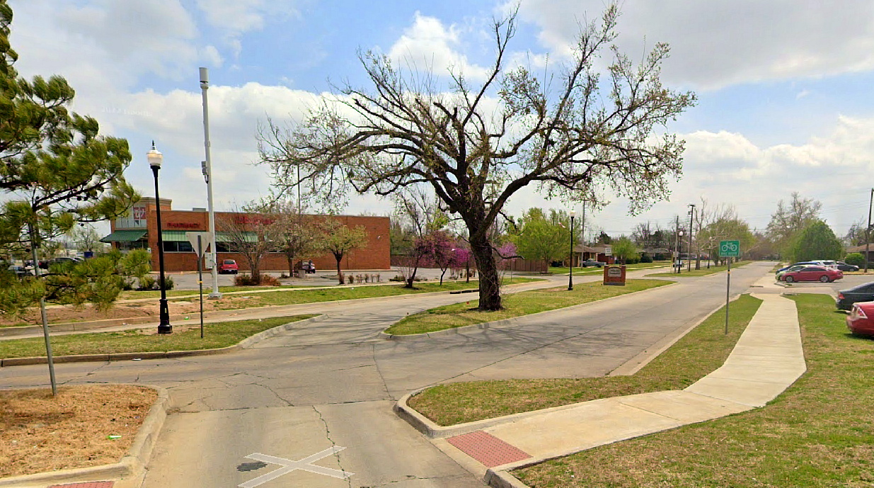
You can see in the map below how one of the streetcar lines extended northwest from downtown to Portland Avenue just west of modern-day Interstate 44. The dashed line shows NW 19th Street, which is a continued double-lane boulevard all the way to NW 23rd Street and Meridian Avenue, leading to Windsor Hills Shopping Center at the southeast corner of the neighborhood. I’ve drawn in a dotted line northwest along the approximate path to Putnam City Central.

My parents and I lived from 1972-1978 in the city of Bethany, at the location shown by the yellow star at the upper left of the map, in the middle of the former Council Grove reserve. Then we moved to a home on Tudor Road in Windsor Hills, shown by the red star. Eventually I noticed the odd way that 19th angled up to intersect 23rd & Meridian. My parents clued me in that the split boulevard there led all of the way downtown along a former streetcar path. Once I could drive an automobile, I had fun tracing that through the neighborhoods southeast to the aptly named Classen Boulevard on the west side of downtown. It would be decades later that I found the streetcar map confirming the route preserved in the street grid.
The original homesteader Thomas A. Cook had a fruit farm on his property, which Classen’s wife, Ella, purchased and operated. Anton Classen died in 1922, and the streetcar service ended in 1947. But by then, part of the Classen Fruit Farm had become a golf course.
Golf Course

Golf pro Floyd Farley leased land from the Classen Fruit Farm in 1941. He built his first course and later shared, “Everybody liked it; it was a natural. I hardly moved any dirt to build it, and the bulldozer bill was only $2,000. It was just a natural piece of ground, but everybody liked it so well and thought I was responsible for it that people started hiring me to build them a golf course. So that’s how I got started.”
Farley was drafted into the army during World War II. After his discharge he returned to golf, turning from being a golf pro to designing courses full-time. He owned the golf club until 1961. Floyd Farley passed away in 2005, having designed over 40 golf courses over six decades, with almost 20 of them in the Oklahoma City area.

Let’s tackle the features we can see in the above aerial image from the early 1950s:
Streets
Almost all of Oklahoma City is laid out in a square-mile grid. Three of the one-mile grid streets are visible: NW 23rd Street, NW 36th Street, and Meridian Avenue. Ann Arbor Avenue is one-half mile west of Meridian. Running east-west farther north is NW 39th Expressway, which is also the famous U.S Highway 66, and was built along the former interurban rail line from Oklahoma City westward to El Reno. The diagonal entry road leading northwest into the golf course clearly follows the route of the streetcar line to Putnam City that was never built.
Orchards
In the photograph, there are still remnants of the fruit farm visible as a stand of pear trees in the central west portion, and another orchard just southwest of 36th & Meridian. That second little orchard would be developed before Windsor Hills, just after the above photograph was taken, as the Meridian Court additions, which is where Jeff, my best friend from junior high through college, once lived.
Railroad
The old Chicago, Rock Island, and Pacific main line ran east-west across Oklahoma City between Reno and NW 10th St. In the 1950s, the Warr Acres Industrial Spur rail line was built, running north from the Rock Island main line to terminate at 38th St, where it ran east and west behind businesses south of US 66 for about a mile.
C.B. Warr developed the Warr Acres housing additions in the 1930s and 1940s. In 1948, 11 housing additions, including the Warr Acres ones and Putnam City, petitioned to incorporate. The City of Bethany sued to stop them, but lost a Supreme Court decision, and they incorporated as Warr Acres. Warr Built Homes constructed thousands of homes over the years.

That railroad spur line was still in occasional use when I lived in Windsor Hills. It carried lumber and other building supplies to Leonhardt’s Big L lumberyard up on 39th St., a family-owned business which operated in the city for over 80 years. Leonhardt’s peaked in 1983 with multiple stores in Oklahoma City and Tulsa, but filed for bankruptcy in 1988 and reorganized with full restitution to unsecured creditors. It finally closed its operation on 39th in 1995.
Over the years, the rail spur trains also served Wilsey Bennett butter house, General Electric, and provided team track service to businesses east of MacArthur Boulevard, including carloads of sacks for Kiespert’s grocery store.
Back in seventh grade, a friend and I heard the slow train coming and put some pennies on the track. The train passed by, leaving them warm and flattened.
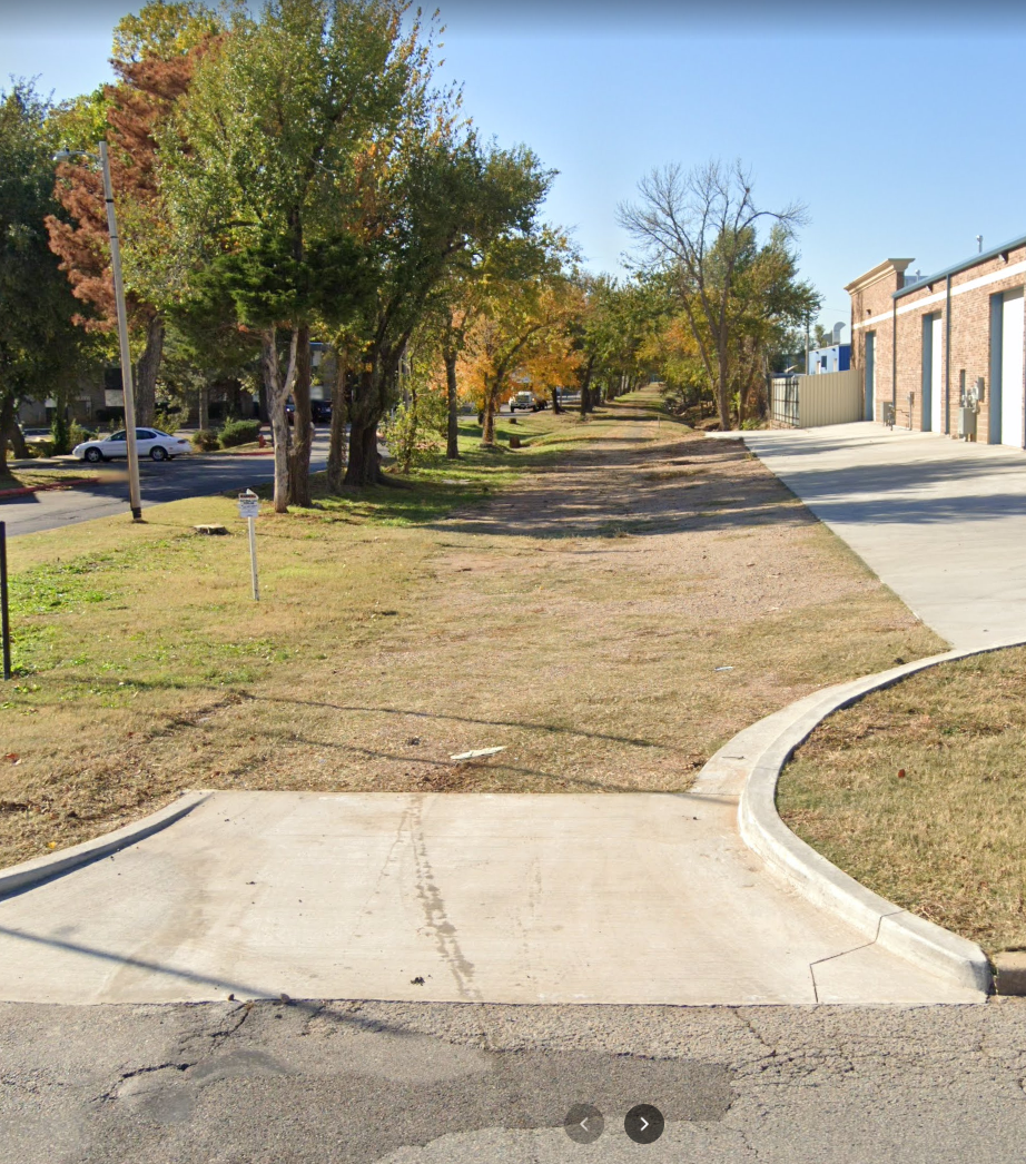
In the early 1990s, the line was abandoned and the rails and ties removed. I hoped that the Windsor Hills neighborhood would keep that right-of-way to form a walking/biking trail, but they opted to just divide up the right-of-way to enlarge the back yards of the homes along it.
Streams
The headwater of the Deep Fork of the North Canadian River begins just northwest of Windsor Hills along the abandoned Warr Acres Industrial Spur in what is now the Woodbrier Apartments. The river runs 230 miles eastward before emptying into Eufaula Lake, and it is now impounded northeast of Oklahoma City to form Arcadia Lake.

The headwater cut down and across the golf course back in the day, exiting just south of 30th St. When we first moved to Windsor Hills, it had become a big ditch running behind the houses across the street. Brush would build up and cause flooding.

While I was in junior high the city funded a concrete channelization of the entire stream through the neighborhood. The deep channel had very steep sloping sides, and curious kids like us found ways down to walk along it. Between rains, it was often fairly dry with large puddles, but it gradually built up thick and smelly sheets of moss.

With a different friend than Jeff, I also explored an underground storm sewer the city constructed along the railroad spur south from 32nd Street. It was large enough to walk along for several blocks if you ducked, narrowing to a tunnel you could scuttle through by 26th Street. I remember how that friend stole a Penthouse magazine from either his father or an older brother, which we hid on a high ledge in that storm sewer. A big rainstorm eventually swept our treasure away.

During junior high, my friend Jeff and I explored the channelized headwaters of the Deep Fork through Windsor Hills and on eastward for a mile through the neighboring Windsor Highland and Pennington 10 neighborhoods to Will Rogers Park. I drew up a huge street map of the neighborhoods on the back of one of my father’s Cities Service Gas blueprints, and we gradually mapped out the walkable underground storm sewers and the channelized streams. Little did I know that over three decades later I would get married at the headwater of the Deep Fork in Will Rogers Park.
Part 2
In the next post, I cover the initial layout of the Windsor Hills neighborhood and the development and my memories of the Windsor Hills Shopping Center.


I remember riding our bikes over to the Windsor Hills golf course and picking pears off of the pear trees along the west side after the golf course closed and before the houses were built.
I grew up at NW 21st and St. Clair, one block east of Portland. I remember as a small child, early 50s, seeing the trains running on the east side of Grand Boulevard.
At one time Portland was the west boundary of Oklahoma City and my parents bought the house on St Clair because it was in Oklahoma City and my dad being on the OCPD had to live in the city limits.
Oh my gosh. The memories! Before they channeled the “creek”, there was a big water hole near our house at 34th and Ann arbor place where I learned to skip stones. We too explored the enclosed storm sewers and would “skate” on our bare feet through the slime moss and flattened pennies on the rail.
Hi Granger, I found this all very interesting. I grew up on N. Grove, very near Grove Park, back when it was still a wooded lot; a remnant of an abandoned orchard. I spent my summers playing in those woods. I attended Windsor Hills from K to 6th grade. We caught ‘horny toads’ (horned lizards) on the playgrounds, though I suspect that these are now locally extinct, and we caught tadpoles in the ditches along Ditmer Rd, when it was still a dirt road. Like you, my friends and I smashed coins on the railroad tracks and explored the storm sewers. We hung out at the TG&Y and other stores in Windsor Hills Mall and Windsor Lanes bowling alley. I attended Mayfield Jr High and PC West, but haven’t been back to this area since the 1990s. So, thank you for putting all of this information together! – Dustin
Just a small correction. Butter house was called Wilsey Bennet (later was Mid America Farms). My dad and several other family members worked there during my childhood. Wonderful article though with priceless history from the land where I grew up!! Thank you so much!
Thank you! I have corrected the post, and I appreciate your help.
I grew up playing golf at Meridian. I consider myself somewhat a docent that was educated by everyday experience. I actually ate pears from the trees that grew along the 3rd hole. However I learned several things from the article. I had always heard that the stretch of 19th from Portland to Meridian was a bridle trail for the farm, and it may well have been after the cable rail was canceled.
Granger, Your post is incredible. I am so impressed by your ability to uncover many esoteric facts from our neighborhood. You addressed many questions that I always wanted to know such as the history of the land where our homes were built. The map of the Meridian Golf course was awesome. I grew up in Windsor Hills on Sterling Avenue. I graduated PC West in 1985. I remember you but did not know you at the time. I hope to meet someday as we would have much to discuss.
David, I’m so glad you enjoyed the post. It was fun to track down the information, and my timing was fortunate since The Daily Oklahoman archives from long ago are now quite difficult to access.