
March 20, 2015
On the last day of our Spring Break vacation, Wendy and I packed out of our cabin at Sugar Ridge and drove only four miles along Beaver Lake to the Indian Creek Public Use Area. There we hiked 1.5 miles on the Bench Rock Nature Trail.

Bench Rock Nature Trail (click map for slideshow)

Wendy at the trailhead
Wendy posed for me at the trailhead, and I examined the posted map, only to promptly head the “wrong way” on the trail, at least according to the arrows on the posted markers. Wendy said there was a set of steps leading up the bluff back at the trailhead, so we flipped about. Sure enough, there were the steps and a very obvious arrow sign to guide us in the intended direction. Wendy is very tolerant of my wanderings!
The early part of the trail was buried in leaves, but soon it turned at a bluff line and began hewing very closely to the edge of the bluff, with a drop-off on the lake side of 20 to 40 feet. A segment of bluff resembled a stack of pancakes, with moss for syrup.
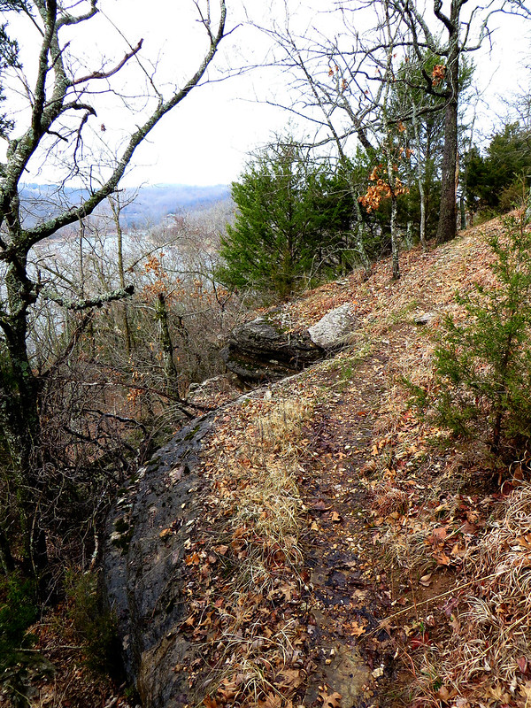
This trail really hugged the edge of the bluff
This trail was not kid-friendly, as it hugged the very edge of the bluff with loose rock and soil underfoot. It eventually relaxed a bit, ducking away from the edge, when the ground became a bed of pebbles. The trail had plenty of metal blaze badges, and a helpful sign indicating when it forked, where we turned to wrap back around to the trailhead.
There it descended to follow an old road bed back below the bluff line. A tree leaning far over the trail was tempting to climb for a pose, but I found the bark far too wet and slippery for that. There were still some leaves with color below the bluff, and trees covered in lichen.

Leaning over the trail

Bluff Shelter
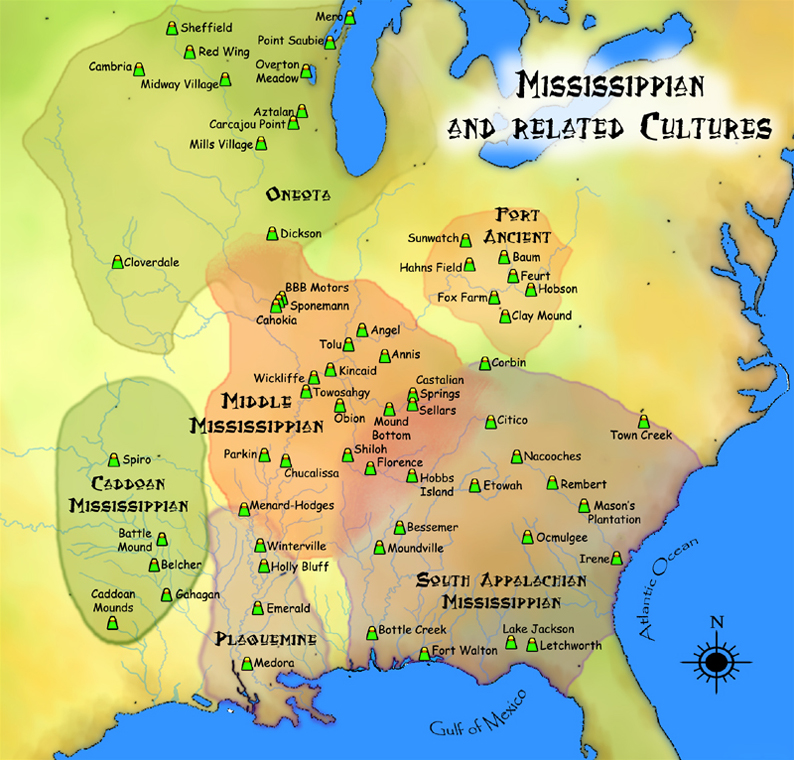
Eventually the road passed a short side trail which led to a bluff shelter overhang. Signage indicated that the shelter here was a typical one used by Indians. More signage propped up under the narrow shelf speculated that the Indians who once sheltered here eventually migrated south to the Caddoan Mound Builders area. Wendy and I visited the Spiro Mounds site in Oklahoma back in November 2013.
The shelter here was quite narrow, not affording much protection when compared to the large shelter at nearby Blue Spring, which was once excavated for artifacts.
After the hike, we drove home by way of Bella Vista, stopping for lunch at J.J.’s Grill. Wendy loved their mac and cheese, and I had a decent “Prime Rib Samach”. It wasn’t as good as what Charleston’s used to serve, but I still enjoyed it.
Returning on a Friday allowed us to get some chores and work done over the weekend before heading back to school. It has been a rough school year, and Spring Break was a much-needed refresher.


