
May 28, 2013
Muddy Shoes
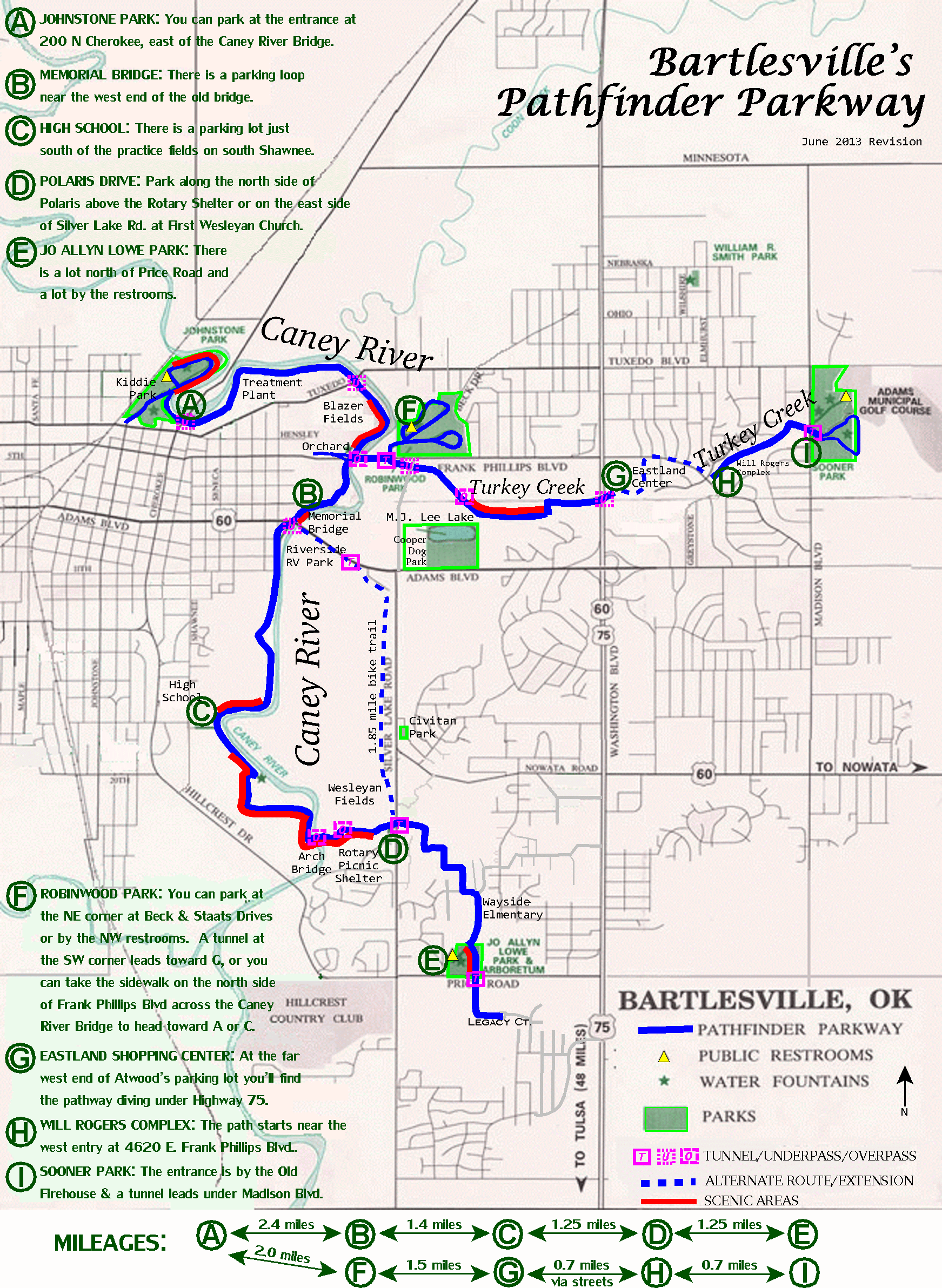
My Pathfinder Parkway Map
I spent the past two days walking almost 18 miles back-and-forth along the entirety of the Pathfinder Parkway trail system here in Bartlesville. Sure, I like to walk and snap photos, but my motivation was mapping rather than exercise or photography. (That didn’t stop me from capturing some iPhone photos.)
One of the most popular pages on MEADOR.ORG is the one about the Pathfinder Parkway trail system. The city has linked to my Google Map of the Pathfinder Parkway on their own website, helping drive thousands of views of that map. So it wasn’t much of a surprise that people kept asking me how far it was between various points on the parkway. However, I lacked the data to give them the answers they sought.
I already knew the mileage of my favorite routes, but everyone has their own favorite starting and stopping points on the trail system. So I decided to kick off my 2013 Summer Break by thoroughly mapping the mileages between all of the obvious waypoints along the entire pathway. I used that information to update my map, rationalizing the order of the various parking areas so that I could create a “add up your mileage” graphic to the bottom of my online map.
I took the opportunity to add various new streets to my printable map, revamping the parking area descriptions and even creating a detailed online spreadsheet of the mileages as you walk east-to-west from Johnstone Park to Sooner Park (or vice versa) and north-to-south from Johnstone Park to Jo Allyn Lowe Park (or vice versa).
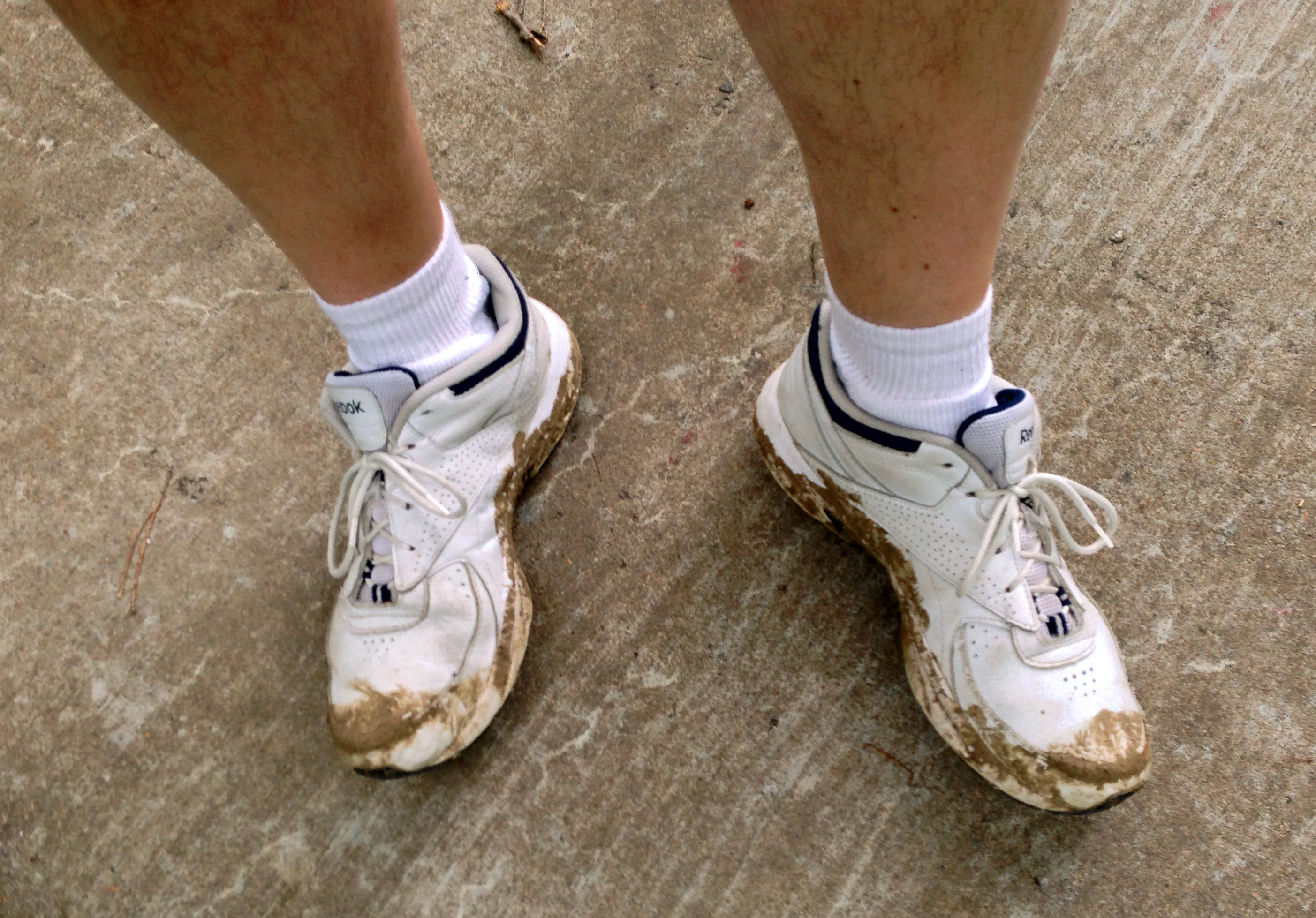
I decided to do the east-west route on Memorial Day since the area around Robinwood Park is closed as the city constructs an extension of Silver Lake Road from Frank Phillips Boulevard north to Tuxedo Boulevard. I knew no one would be working on the holiday, so I could trespass to get accurate mileages, even if that meant getting my tennis shoes a bit muddy.
Along the way I spotted a deer, a horse or two, turtles, fishermen, and spoke with fellow teachers who were out for a stroll or a ride, and admired the rush of water over the limestone ledge in the Caney River and sunlit fields in the middle of our fair city, while enjoying the beauty of the familiar path through the woods.


Can’t thank you enough for the detailed mileage chart. Very helpful.